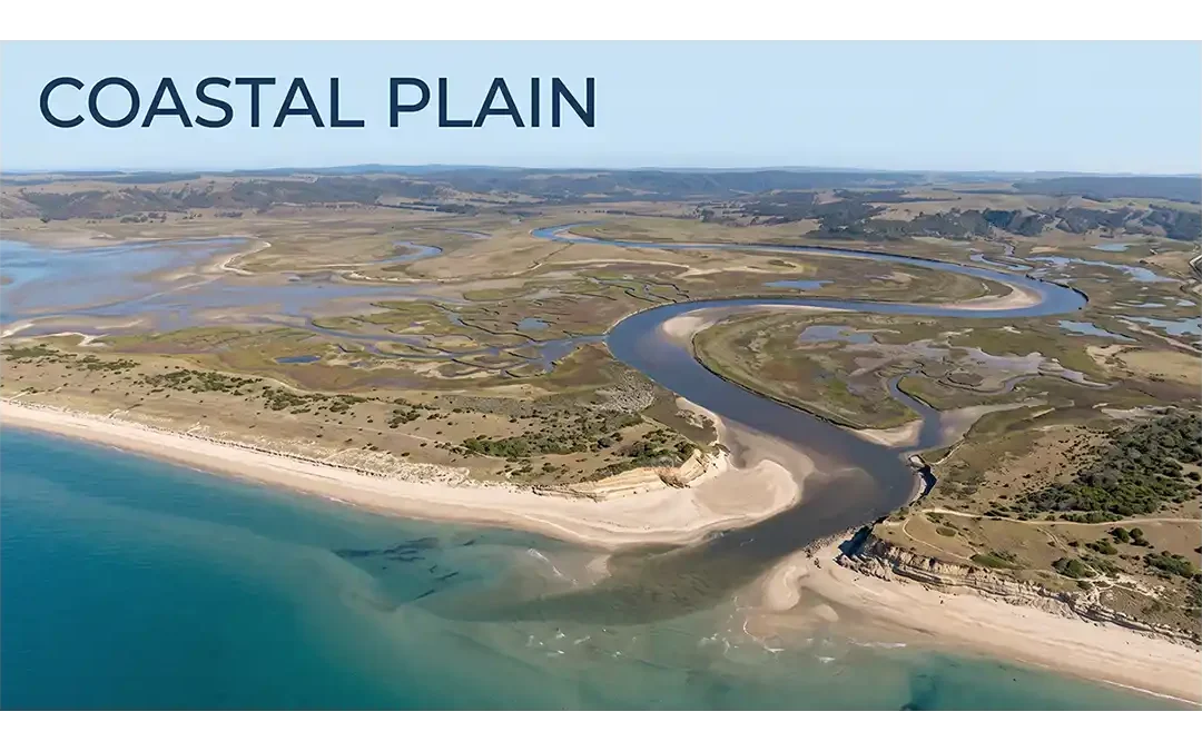
 Coastal Plain landscapes form where the land meets the sea, creating broad areas that record the long-term interaction between rivers, waves, tides, sediments, and changing sea levels. Although these landscapes often look simple and flat, their geology can reveal a...
 Solid waste characteristics and quantities currently generated and expected to be generated within the facility’s service area are available. Proper WTE facility planning requires a reliable database. Such data are necessary, not only for determining the current...
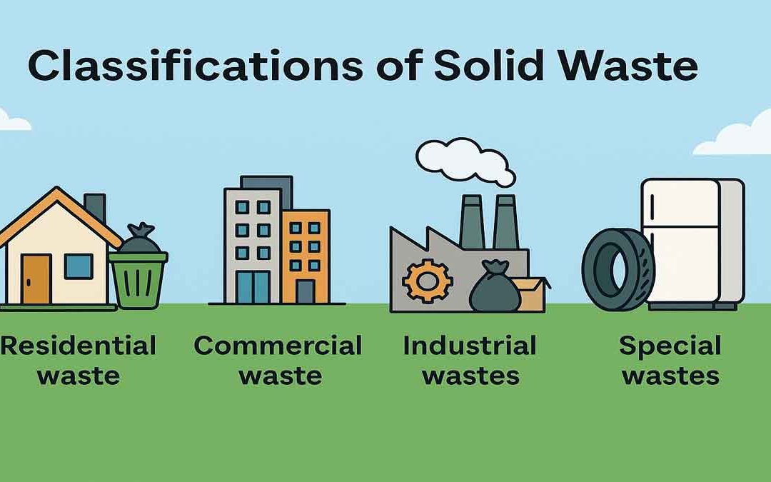 Municipal solid waste (MSW) typically refers to solid or semi-solid discarded materials resulting from industrial, commercial, agricultural, institutional, and residential operations, but does not include solids or dissolved materials in industrial or domestic sewage...
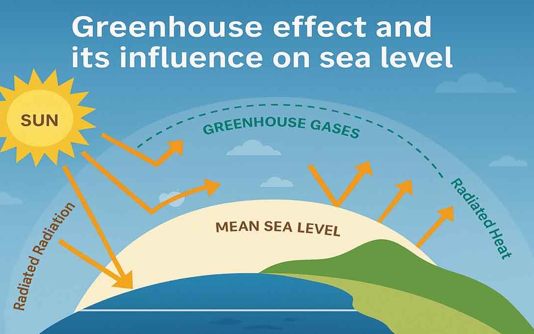 There are some gases that absorb infrared radiation (IR) from the sun and radiate heat in all directions. These gases are called greenhouse gases. Greenhouse gases in the Earth’s atmosphere absorb IR from the sun and release it. The Greenhouse Effect: Both solar heat...
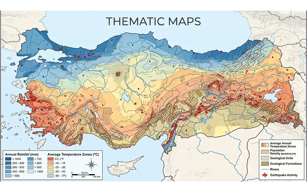 Maps help us understand places, locations, and patterns across Earth’s surface. While some maps show many different geographic features, others focus on one particular subject. These focused maps are called thematic maps. Thematic maps are designed to show the...
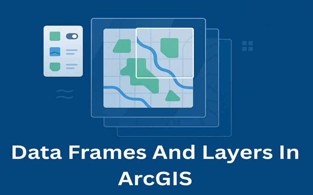 In ArcGIS, data frames and layers are essential for organizing and displaying map data. They help manage how geographic information is viewed, styled, and analyzed on a map. Data Frames: In ArcGIS Desktop, data frames are an element of the ArcMap user interface that...