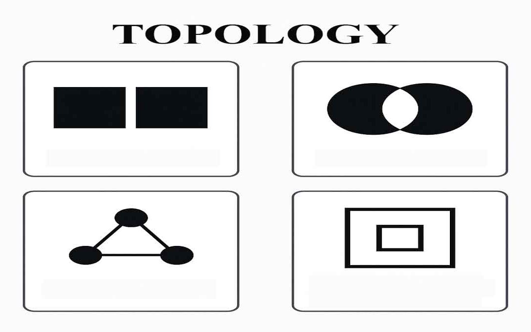
 Topology defines the process to describe and maintain the spatial relationships of map features. Function of topology: It allows the function on the basis of the following aspects: Adjacency Coincidence Connectivity Containment and others A GIS topology is a set of...
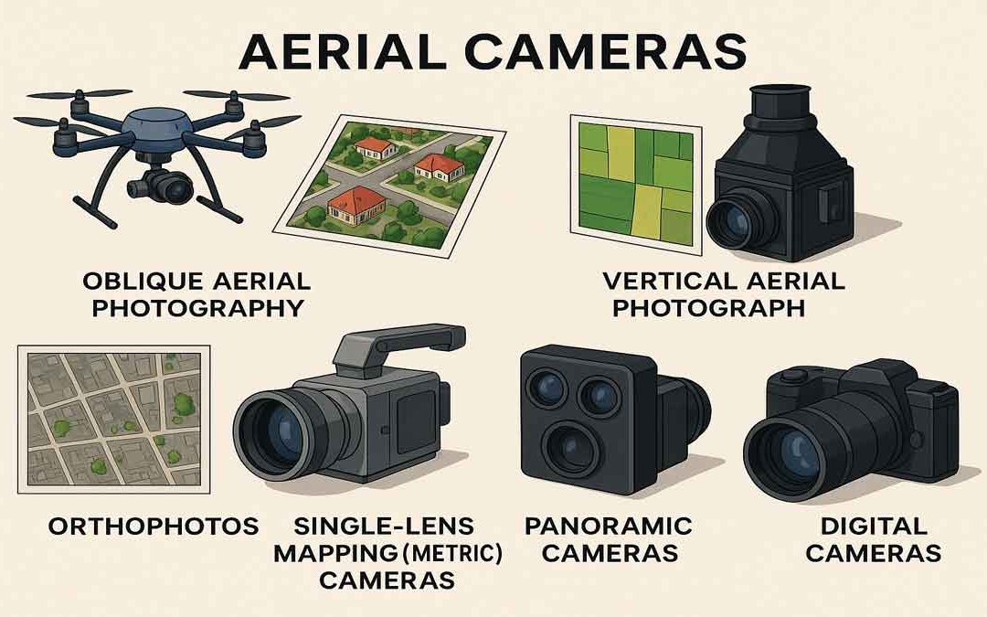 Aerial cameras and their use for aerial photography are the simplest and oldest of sensors used for remote sensing of the Earth’s surface. Cameras are framing systems that acquire a near-instantaneous “snapshot” of an area of the surface. The camera uses a lens to...
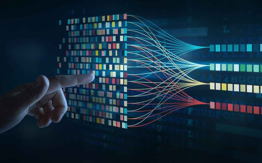 Data Classification is the process of sorting or arranging groups or categories on a map, and also the process of representing members of a group by the same symbol ( usually defined in a legend). It is used in GIS, cartography, and remote sensing to generalize...
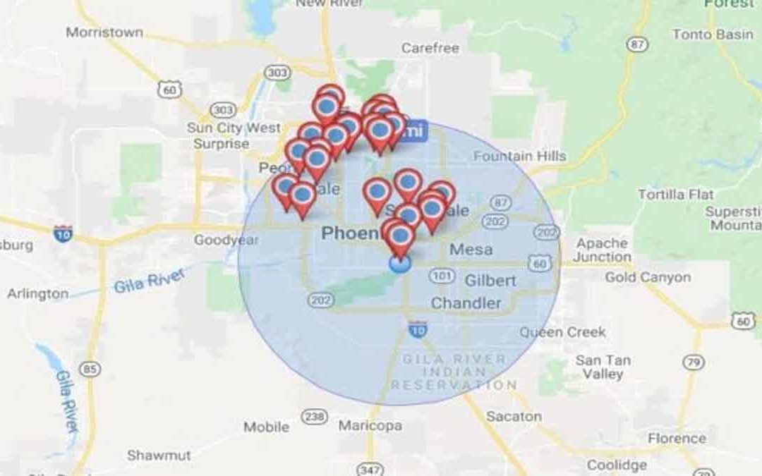 Geocoding is the conversion of spatial information into digital form. It involves capturing the map, sometimes also capturing the attributes, and often involves address matching. It is the process of transforming a description of a location, such as a pair of...
 ASPRS adopted a definition of remote sensing as “ The art, science, and technology of obtaining reliable information about physical object of the environment, though the process of recording, measuring and interpreting imagery and digital representations of energy...
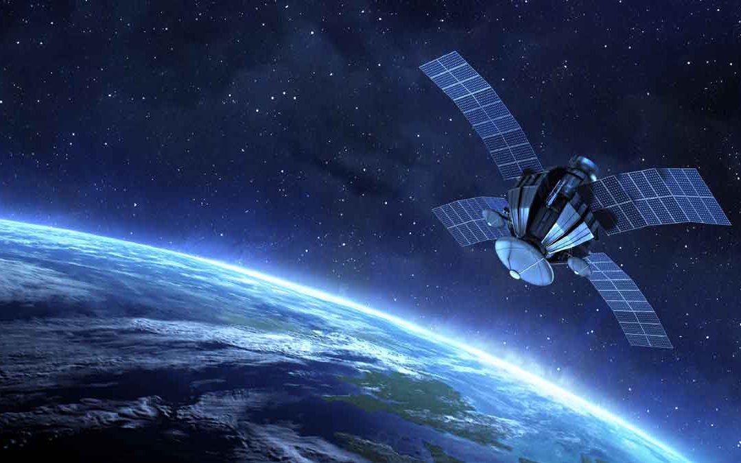 Wilkinson (1996) summarized three main ways in which remote sensing and GIS technologies can be combined to enhance each other, Remote sensing is used as a tool for gathering data for use in GIS, GIS data are used as ancillary information to improve the products...