by Gelogia Team | Jun 20, 2026 | Mineralogy
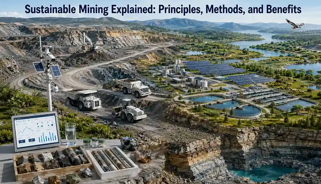
Mining provides the minerals and metals needed for modern society, but it can also affect land, water, ecosystems, and local communities. Sustainable mining aims to balance resource extraction with environmental protection, social responsibility, and long-term...
by Gelogia Team | Jun 20, 2026 | Mineralogy
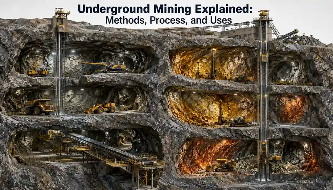
Underground mining is a method used to extract valuable minerals and ore deposits located deep beneath Earth’s surface. When mineral resources occur too deep for economical surface mining, underground mining provides access through tunnels, shafts, and...
by Gelogia Team | Jun 20, 2026 | Mineralogy
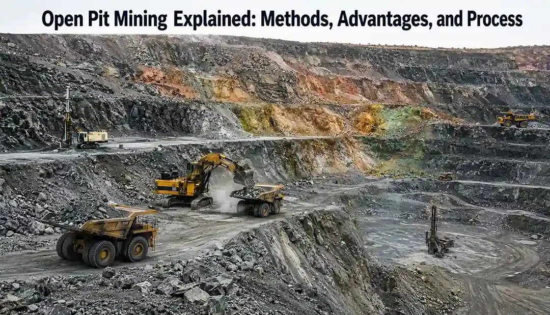
Open pit mining is the most widely used mining method in the world for extracting near-surface mineral deposits. It involves removing rock and ore from a large open excavation that expands downward and outward as mining progresses. Many of the world’s largest...
by Gelogia Team | Jun 20, 2026 | Mineralogy
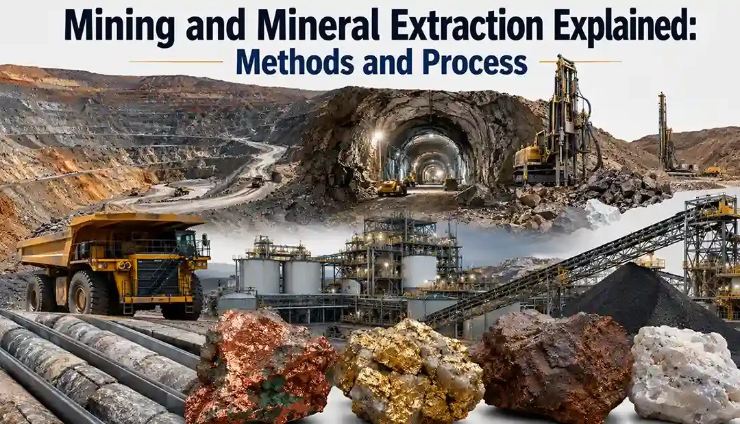
Modern civilization depends heavily on mining and mineral extraction. Every building, road, vehicle, smartphone, battery, and renewable energy system contains materials obtained through mining. Mining is the process of removing valuable minerals and rocks from...
by Gelogia Team | Jun 20, 2026 | Mineralogy
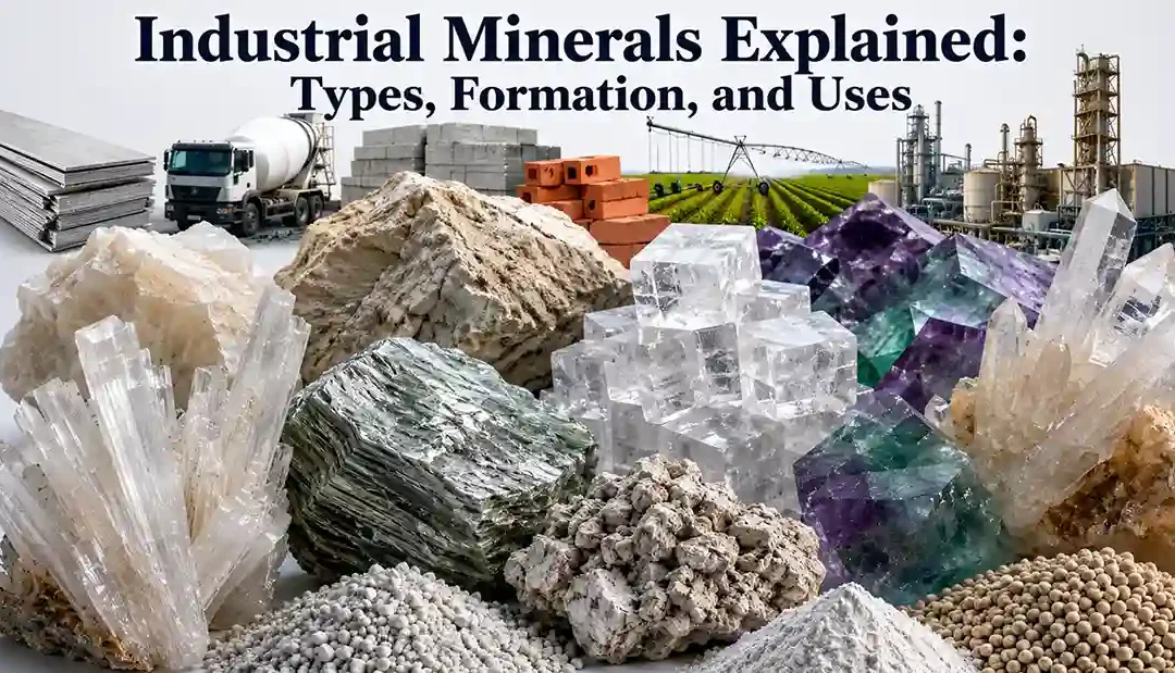
Industrial minerals are among the most important natural resources used by modern society. Unlike metallic minerals, industrial minerals are generally used for their physical and chemical properties rather than for extracting metals. They are essential for:...