 Engineering Geology is the study of how geology is used in engineering work. It helps engineers understand rocks, soil, and water before building roads, bridges, dams, tunnels, and other structures. This blog explains what Engineering Geology is, its history, why it...
 The Mercalli Intensity Scale provides a way to measure earthquakes not by scientific instruments alone, but by the effects felt by people and damage observed in the built environment. Unlike magnitude scales (which measure energy released), the Mercalli scale ranks an...
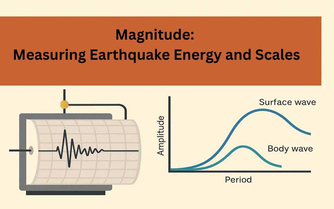 Magnitude is a measurement of the energy released by an earthquake. Earthquake magnitude scales in general do not directly represent any physical parameters of the source. Magnitude scales can be used to represent the relative size of earthquakes. Why Are Magnitude...
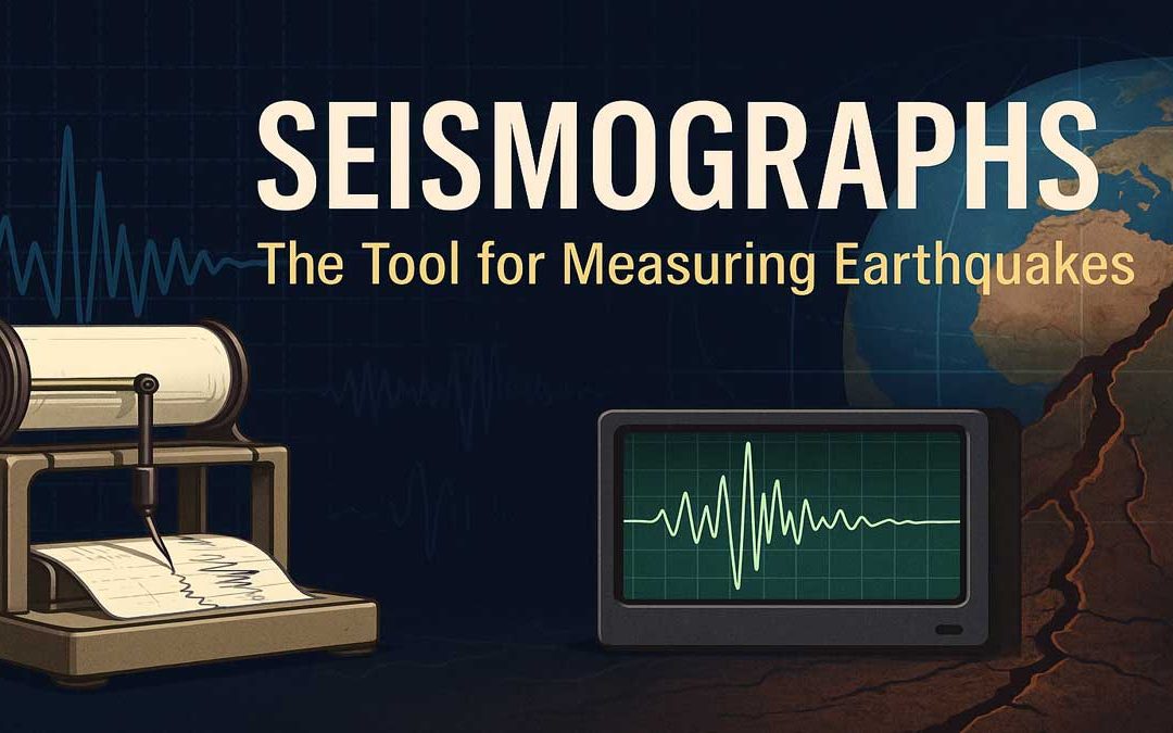 A seismograph is an essential device used by scientists to measure and record earthquakes. By understanding how seismographs work, we can better interpret seismic activity and improve earthquake preparedness. How Does a Seismograph Work? A seismograph is the device...
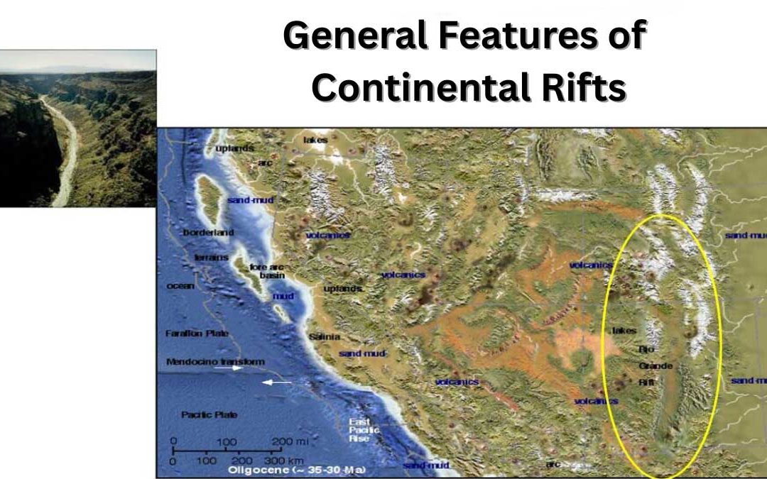 Continental rifts are geological zones where the Earth’s crust is stretched and broken, forming deep fault-bounded valleys. These structures play a key role in understanding plate tectonics, continental breakup, and the formation of new ocean basins. This...