 The sea level means the level of the surface of the sea. It is the mean position or midway between the mean high and mean low water levels, computed from the records of tidal oscillations over a long period and seasonal variations. It is defined based on the...
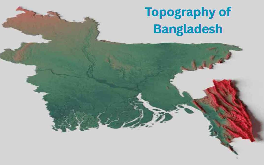 Bangladesh, a South-East Asian country, is located at the lowermost reaches of the Bengal Basin. The Quaternary sediments (began about 2 million years ago and extend to the present), deposited mainly by the mighty rivers—the Ganges, Brahmaputra, and Meghna—cover about...
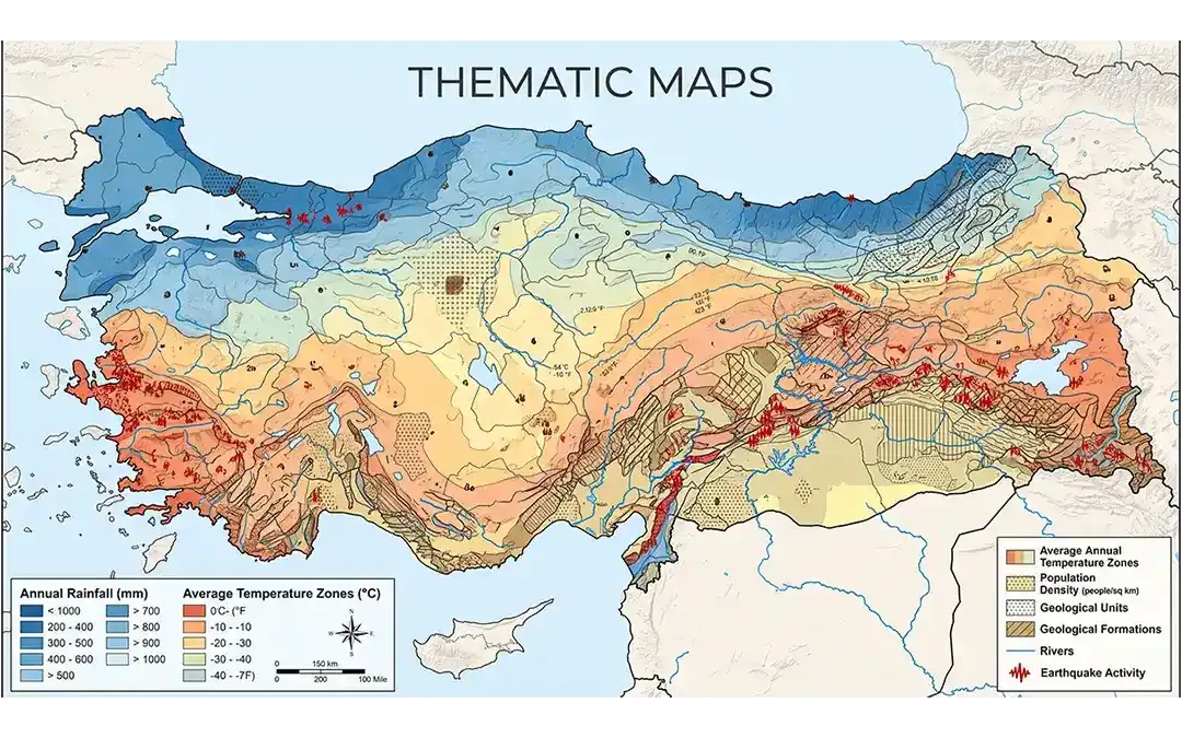 Maps help us understand places, locations, and patterns across Earth’s surface. While some maps show many different geographic features, others focus on one particular subject. These focused maps are called thematic maps. Thematic maps are designed to show the...
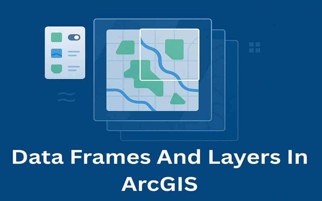 In ArcGIS, data frames and layers are essential for organizing and displaying map data. They help manage how geographic information is viewed, styled, and analyzed on a map. Data Frames: In ArcGIS Desktop, data frames are an element of the ArcMap user interface that...
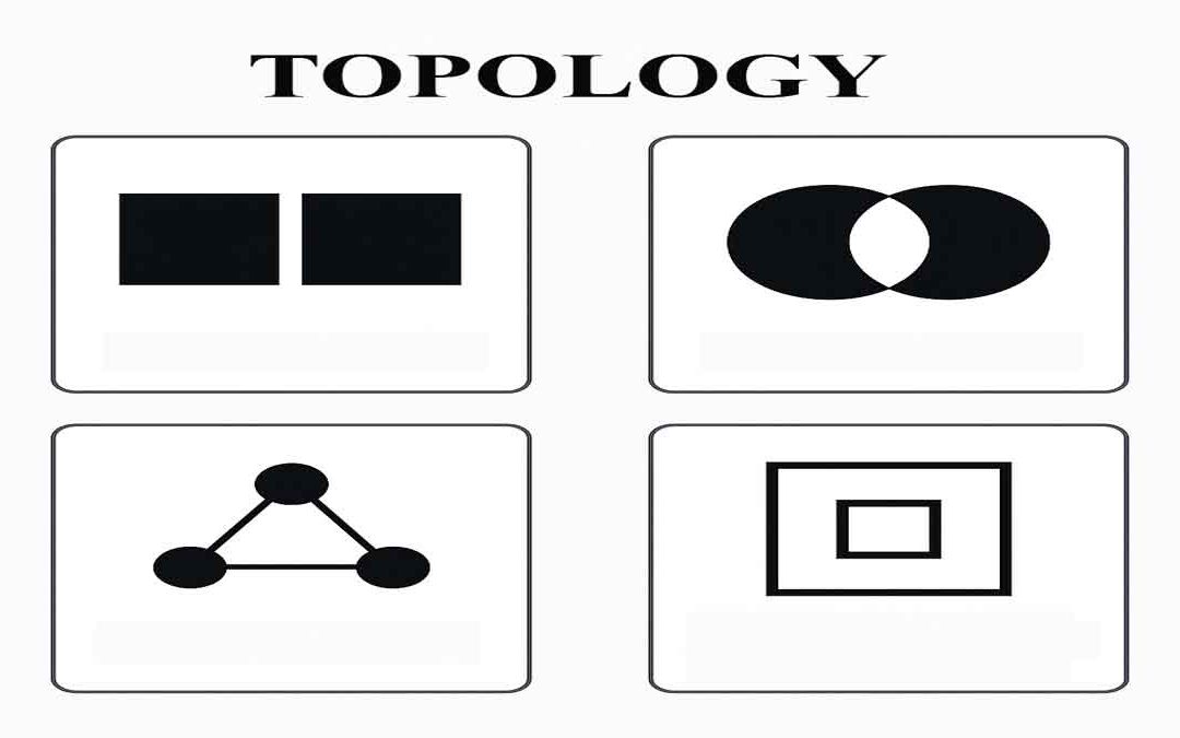 Topology defines the process to describe and maintain the spatial relationships of map features. Function of topology: It allows the function on the basis of the following aspects: Adjacency Coincidence Connectivity Containment and others A GIS topology is a set of...