Earth’s crust is constantly moving. Most of these movements are too small for humans to feel — but modern technology can detect even tiny vibrations underground. That’s the role of earthquake monitoring technology.
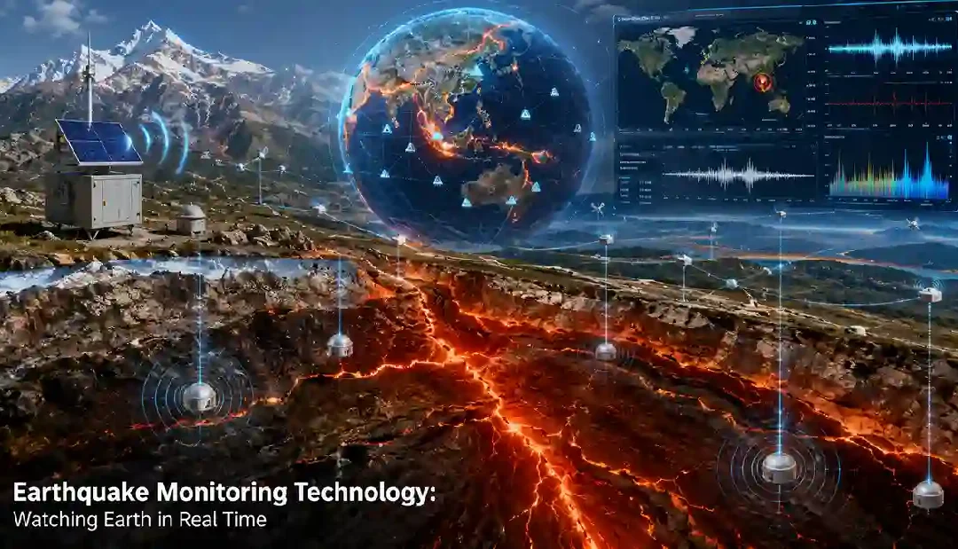
Today, scientists use global sensor networks, satellites, GPS systems, and AI-powered analysis to track tectonic activity in real time.
These systems help researchers:
- detect earthquakes quickly
- monitor fault stress
- issue early warnings
- study long-term seismic risk
If you’re new to earthquakes, begin here → what is an earthquake
Why Earthquake Monitoring Matters
Monitoring technology helps scientists understand:
| Purpose | Why It Matters |
|---|---|
| Earthquake detection | Locate seismic events quickly |
| Fault monitoring | Measure tectonic stress |
| Early warning systems | Reduce disaster impact |
| Tsunami monitoring | Improve coastal safety |
| Scientific research | Study Earth’s tectonic behavior |
Modern seismic monitoring networks operate 24/7 worldwide.
Main Types of Earthquake Monitoring Technology
1. Seismometers (Core Earthquake Sensors)
Seismometers are the most important earthquake monitoring tools.
They detect:
- ground vibrations
- seismic waves
- tectonic movement
What They Measure
- earthquake magnitude
- depth
- wave patterns
Networks of seismometers are installed worldwide.
Learn more → seismic waves
2. GPS Tectonic Monitoring Systems
GPS systems can measure tiny plate movements.
Scientists track:
- crustal motion
- fault displacement
- tectonic strain buildup
Accuracy
Modern systems can detect movement of only a few millimeters. This helps monitor active faults and subduction zones.
3. Satellite Earth Observation Technology
Satellites provide a global view of tectonic activity.
Main Uses
- mapping ground deformation
- measuring uplift/subsidence
- tracking large fault ruptures
Important Technology
InSAR radar imaging is widely used for earthquake research.
4. Real-Time Earthquake Detection Networks
Modern seismic networks can detect earthquakes within seconds.
These systems:
- process seismic waves instantly
- calculate magnitude rapidly
- distribute alerts automatically
They form the foundation of earthquake early warning systems.
Explore → earthquake early warning systems
5. Tsunami Monitoring Systems
Large offshore earthquakes may generate tsunamis.
Monitoring systems use:
- ocean buoys
- pressure sensors
- coastal tide gauges
These systems help issue tsunami warnings after major earthquakes.
6. Artificial Intelligence & Seismic Analysis
AI is becoming increasingly important in earthquake monitoring.
AI Helps Scientists
- detect seismic patterns faster
- identify tiny earthquakes
- improve forecasting models
AI cannot predict earthquakes exactly, but it improves monitoring speed and accuracy.
How Earthquake Monitoring Networks Work Together
Modern systems combine multiple technologies.
| Technology | Main Role |
|---|---|
| Seismometers | Detect seismic waves |
| GPS | Measure crustal movement |
| Satellites | Track deformation |
| Ocean sensors | Detect tsunamis |
| AI systems | Analyze huge data streams |
Together, these systems provide a near real-time picture of Earth’s tectonic activity.
Countries With Advanced Earthquake Monitoring Systems
| Country | Monitoring Strength |
|---|---|
| Japan | Ultra-dense seismic network |
| United States | ShakeAlert + GPS monitoring |
| China | Large-scale sensor systems |
| New Zealand | Plate boundary monitoring |
| Mexico | Earthquake + tsunami alerts |
Japan operates one of the world’s most advanced earthquake monitoring systems.
Learn more → earthquakes Tokyo region
Famous Earthquake Monitoring Networks
Some major global systems include:
- USGS seismic network
- Japan Meteorological Agency systems
- ShakeAlert (USA)
- Pacific Tsunami Warning Center
These organizations continuously monitor seismic activity worldwide.
Challenges in Earthquake Monitoring
Even advanced systems face challenges:
- remote ocean regions
- hidden faults underground
- limited sensor coverage in some countries
- extremely complex tectonic behavior
Monitoring improves understanding, but cannot fully predict earthquakes.
Future Earthquake Monitoring Technology
Scientists are developing:
- denser sensor networks
- AI-powered analysis
- satellite constellations
- underwater seismic cables
- faster mobile alert systems
Future systems may become:
- faster
- more automated
- more accurate
Seismometers.
Yes — satellites can measure ground deformation caused by tectonic movement.
Modern systems can detect earthquakes within seconds.
No — it mainly tracks and analyzes seismic activity.
Final Thoughts
Earthquake monitoring technology has transformed how scientists observe Earth’s tectonic activity. Using sensors, satellites, GPS systems, and real-time analysis, researchers can now detect earthquakes within seconds and monitor stress building deep underground.
Understanding these technologies reveals how modern science continuously watches one of Earth’s most powerful natural processes.