by Gelogia Team | Apr 14, 2025 | Physical Geology & Geomorphology
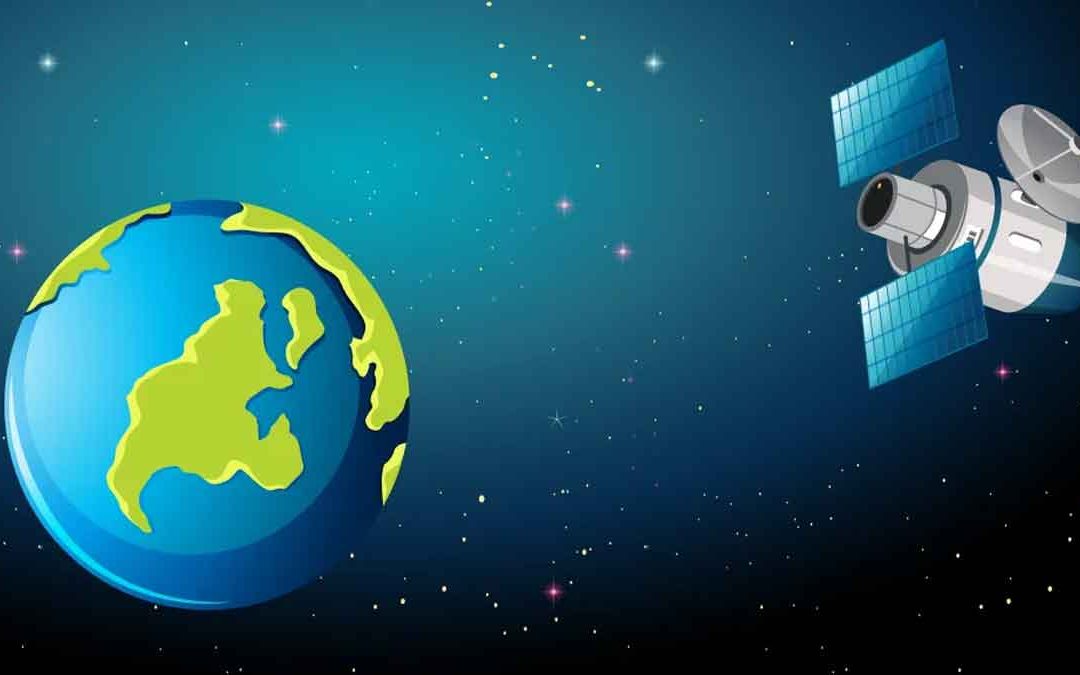
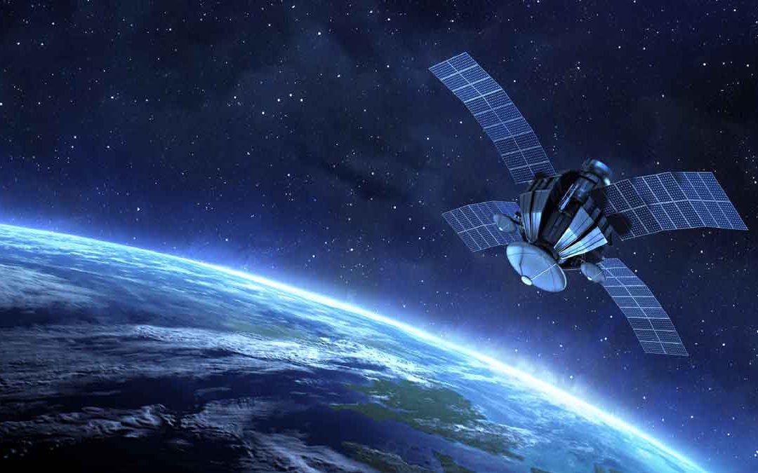
ASPRS adopted a definition of remote sensing as “ The art, science, and technology of obtaining reliable information about physical object of the environment, though the process of recording, measuring and interpreting imagery and digital representations of energy...
by Gelogia Team | Apr 12, 2025 | Physical Geology & Geomorphology
Wilkinson (1996) summarized three main ways in which remote sensing and GIS technologies can be combined to enhance each other, Remote sensing is used as a tool for gathering data for use in GIS, GIS data are used as ancillary information to improve the products...
by Gelogia Team | Apr 11, 2025 | Physical Geology & Geomorphology
In a geographic information system (GIS), analysts transform geographic data into geographic information by applying a complex series of functions and processes. Geographers begin with raw positional feature data that include attributes. They then overlay these data...
by Gelogia Team | Apr 10, 2025 | Physical Geology & Geomorphology
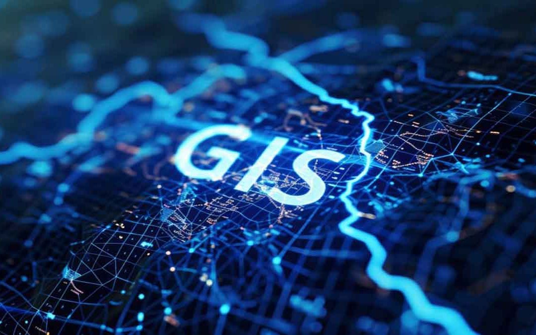
What is a Geographic Information System (GIS)? A Geographic Information System (GIS) captures, stores, manipulates, analyzes, manages, and presents spatial or geographic data. This system integrates, stores, edits, analyzes, shares, and displays geographic...
by Gelogia Team | Apr 8, 2025 | Physical Geology & Geomorphology
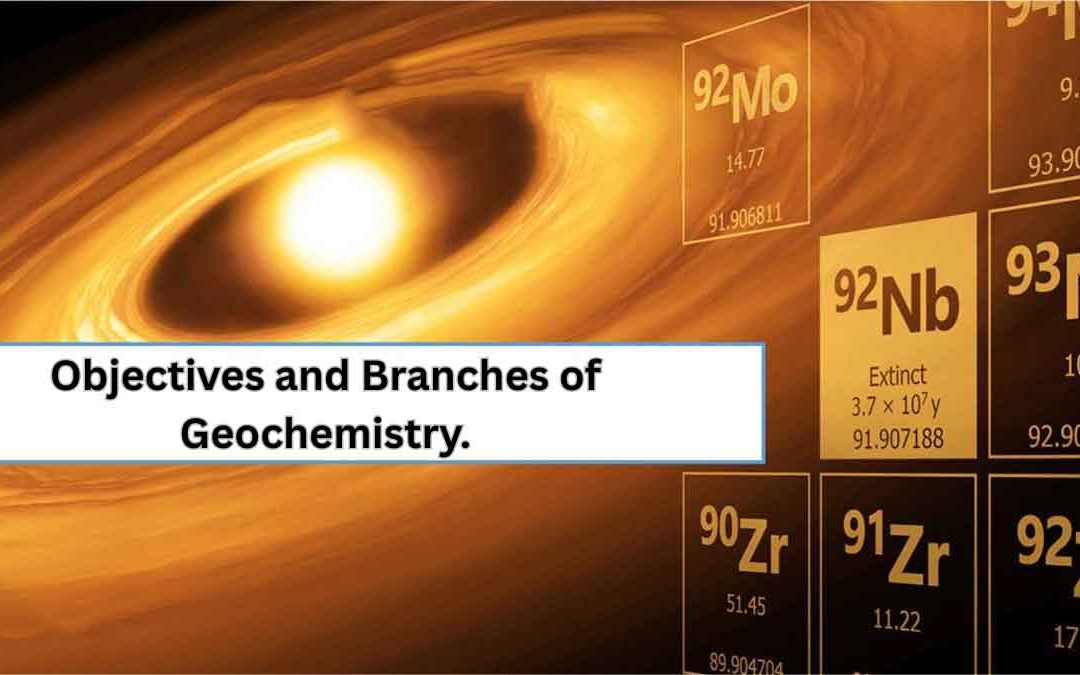
Geochemistry: Geochemistry is a science that uses the tools and principles of chemistry to explain the mechanisms behind major geological systems, such as the Earth’s crust and its oceans. It extends beyond the Earth, encompassing the entire Solar System. Victor...
by Gelogia Team | Apr 7, 2025 | Physical Geology & Geomorphology, Uncategorized
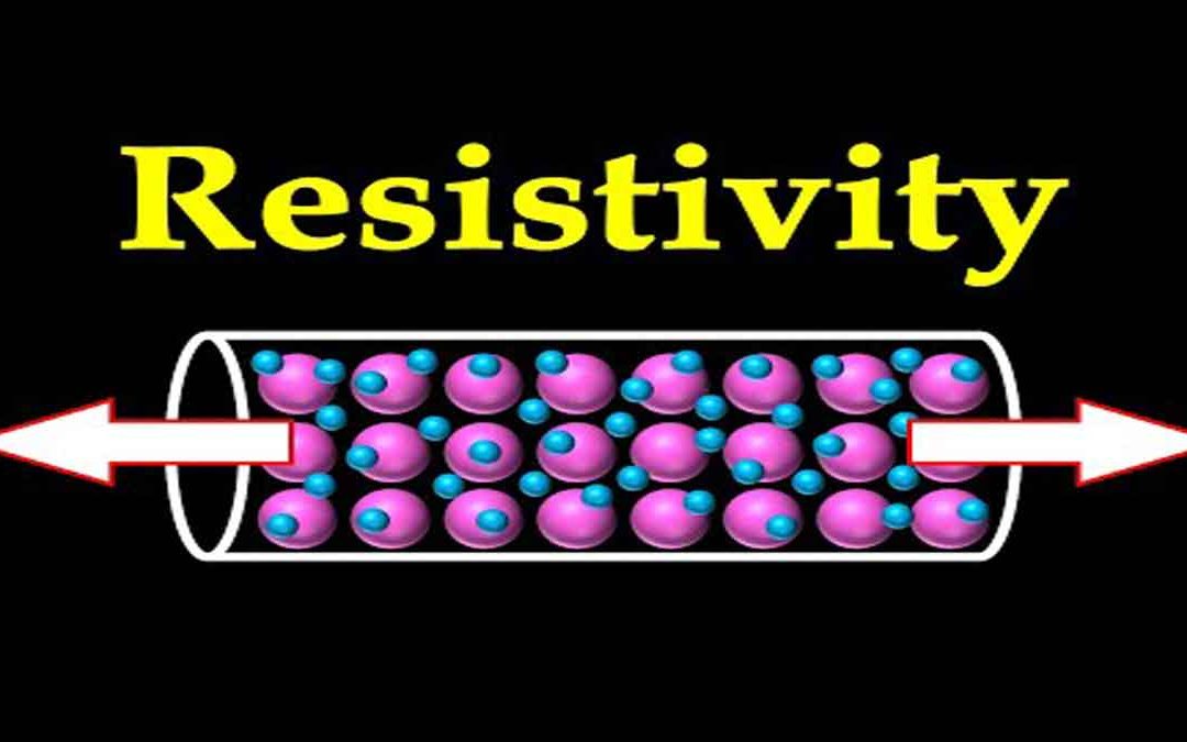
Resistivity: This is a fundamental physical property of metal in a wire. Though related to resistance, it is not the same. Resistance (R) depends on length, area, and the material’s properties, which are collectively described by this term.R = ρL/A, where:R =...