The drainage pattern refers to the arrangement of streams, rivers, and lakes within a specific drainage basin. The land’s topography, the types of rocks present in the area, and the slope of the land influence it.
Types of Drainage Patterns:
Most stream networks are adapted to regional slopes and geological structures, picking out the primary fractures in the underlying rocks. Nine chief drainage patterns are categorized:
- Dendritic
- Parallel
- Trellis
- Radial
- Centrifugal
- Centripetal
- Distributary
- Rectangular
- Annular
Dendritic:
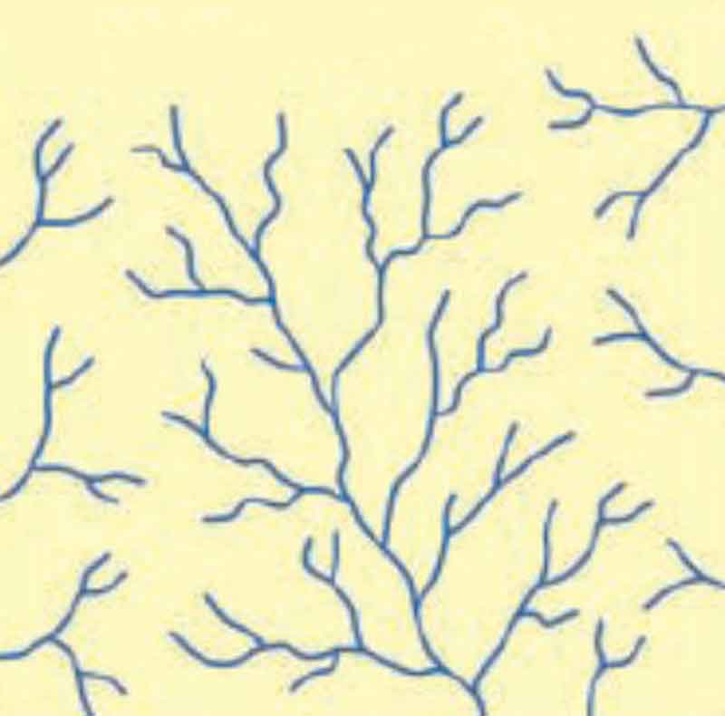
The Dendritic drainage pattern is spreading, tree-like, with irregular branching of tributaries in many directions and at almost any angle. It occurs mainly on horizontal and uniformly resistant strata, unconsolidated sediments, and homogeneous igneous rocks without structural controls.
Pinnate drainage, associated with very steep slopes, is a particular dendritic pattern wherein the tributaries are more or less parallel and join the mainstream at acute angles.
Parallel:
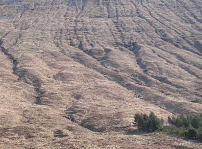
Parallel drainage displays regularly spaced and more or less parallel main streams with tributaries joining at acute angles. Parallel dip streams dominate the pattern. It develops where strata are uniformly resistant and the regional slope is marked or where a series of closely spaced faults, monoclines, or isoclines exert structural solid control.
Trellis:
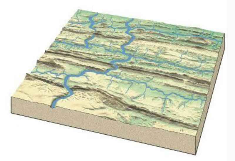
The trellis drainage pattern has a dominant drainage direction with a secondary direction parallel to it, so primary tributaries join main streams at right angles, and secondary tributaries run parallel to the main streams. It is associated with alternating bands of hard and soft dipping or folded beds or recently deposited and aligned glacial debris. Fold mountains tend to have trellis drainage patterns.
An example is the Appalachian Mountains, north-east USA, where stream erosion has truncated alternating weak and strong strata.
Radial:
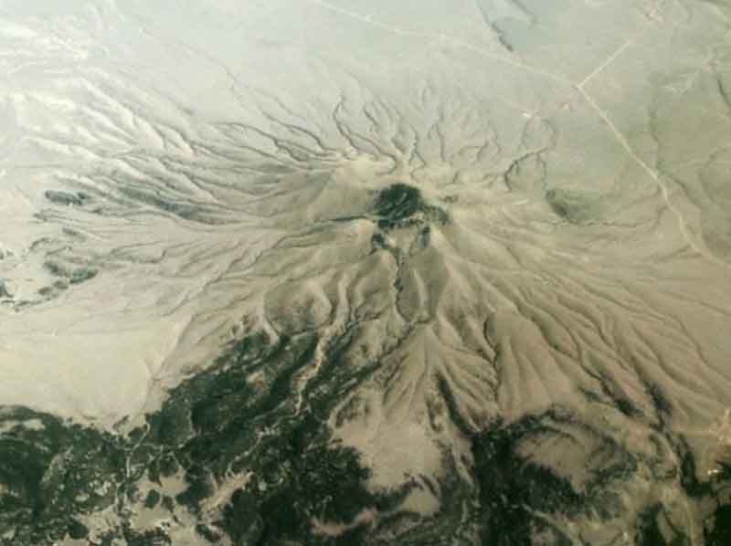
Radial drainage has streams flowing outwards from a central elevated tract. It is on topographic domes like volcanic cones and other isolated conical hills. On a large scale, radial drainage networks form on rifted continental margins over mantle plumes, which create lithospheric domes (Cox 1989; Kent 1991).
A postulated Deccan plume beneath India caused the growth of a topographic dome, the eastern half of which is now gone. Most rivers rise close to the west coast and drain eastwards into the Bay of Bengal, except those in the north, which drain north-eastwards into the Ganges, and a few that flow westwards or south-westwards (possibly along failed rift arms).
Mantle plumes beneath southern Brazil and southern Africa would account for many features of the drainage patterns in those regions.
Centrifugal:
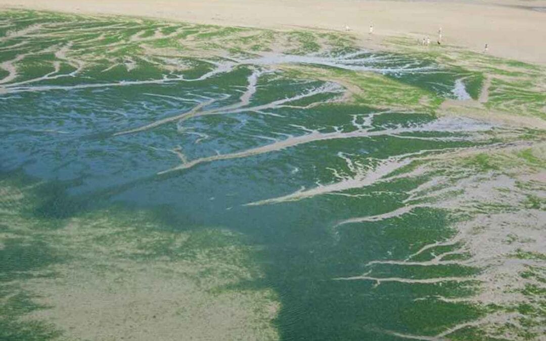
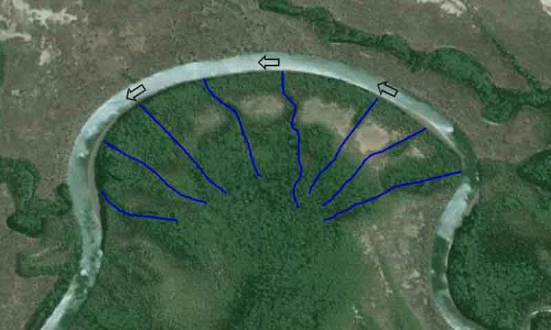
Centrifugal drainage is similar to radial and occurs where, for example, gutters develop on the insides of meander loops on the tidal mudflats of coastal north-west Queensland, Australia.
Centripetal drainage has all streams flowing towards the lowest central point in a basin floor. It occurs in calderas, craters, dolines, and tectonic basins. A large area of internal drainage lies on the central Tibetan Plateau.
Distributary:
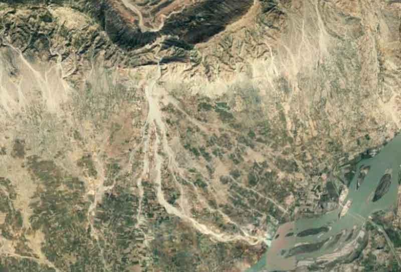
Distributary drainage pattern typifies rivers debouching from narrow mountain gorges and running over plains or valleys, particularly during occasional floods when they overtop their banks. Many deltas display a similar pattern of drainage.
Rectangular:
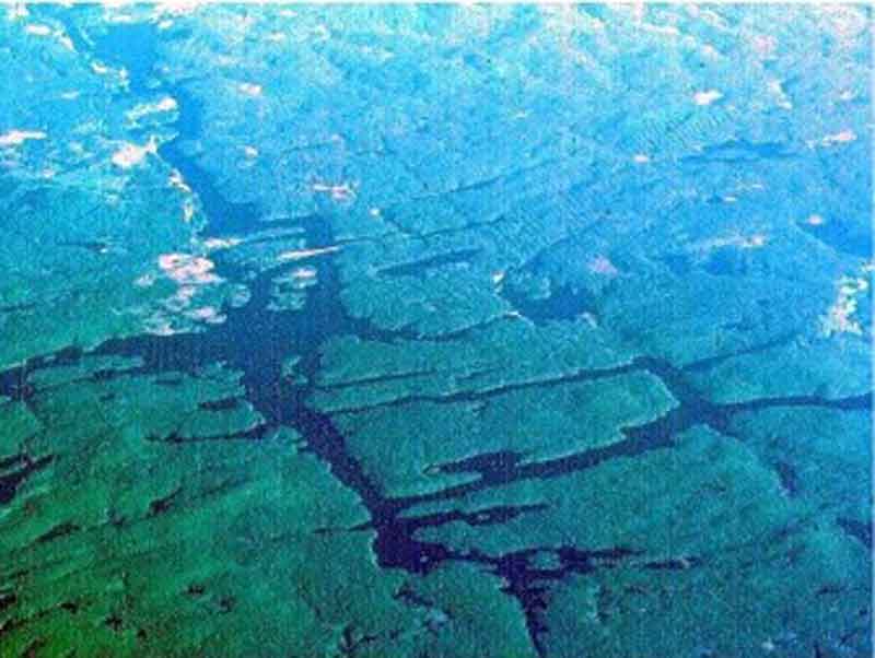
Rectangular drainage displays a perpendicular network of streams with tributaries and main streams joining at right angles. It is less regular than trellis drainage and is controlled by joints and faults. Rectangular drainage is expected along the Norwegian coast and in portions of the Adirondack Mountains, USA. Angulate drainage is a variant of rectangular drainage and occurs where joints or faults join each other at acute or obtuse angles rather than at right angles.
Annular:
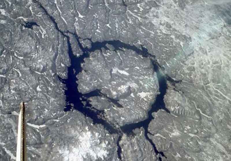
Annular drainage pattern has main streams arranged in a circular pattern with subsidiary streams at right angles. It evolves in a breached or dissected dome or basin in which erosion exposes concentrically arranged hard and soft rock bands. An example is found in the Wool Hope Dome in Herefordshire, England.
