Gelogia
  • Home
  • Geology Student Portal
  • About Us
  • Contact Us
Select Page
Geophysical Surveys: Techniques, Applications, and Limitations.

Geophysical Surveys: Techniques, Applications, and Limitations.

by Gelogia | Nov 10, 2024 | Physical Geology & Geomorphology

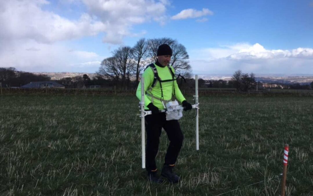
A geophysical survey is the systematic collection of geophysical data for spatial studies. Detection and analysis of geophysical signals form the core of geophysical signal processing. The geophysical survey uses various sensing instruments, and data may be collected...

Our Latest Post

  • Classification-of-Natural-Resources
    Classification of Natural Resources
  • Density-of-soil
    Density of Soil
  • Tunnel
    Tunnel: Components and Types.
  • Tsunami
    Tsunami: Origin, Impacts, and Protection Measures
  • causes-and-types-of-joints
    Caused and Types of Joints in Rocks

Address

University Of Dhaka
Dhaka – 1000, BD
Get Directions

Helpful resources

Blog Post
Latest News
Books and Notes

Contact MAIL

[email protected]
[email protected]
[email protected]


important PAGE

Terms and Condition
Privacy Policy
Disclaimer

@2025 – All Right Reserved. Designed and Developed by Team Gelogia