Latest Post & Case Study
Recent Post
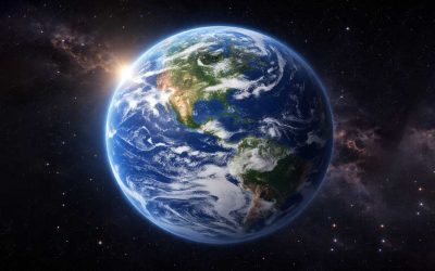
Earth Planet: Size, Distance, Atmosphere & Interesting Facts
Earth is the third planet from the Sun and the only known planet in the universe that supports life. With vast oceans,...
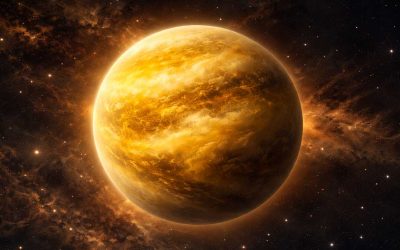
Venus Planet: Size, Distance, Temperature & Interesting Facts
Venus is the second planet from the Sun and the hottest planet in the solar system. Although Mercury is closer to the...
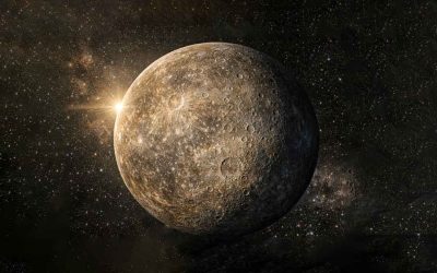
Mercury Planet: Size, Distance, Temperature & Facts
Mercury is the closest planet to the Sun and the smallest planet in the solar system. Despite being so near to the...
Mineralogy & Petrology
Types of Metamorphic Reactions
Metamorphic Reaction: The study of metamorphic reactions provides vital information about the pressure and temperature...
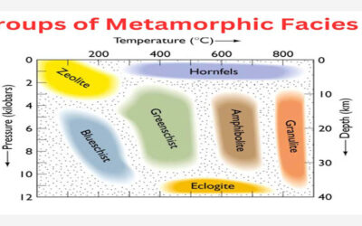
Groups of Metamorphic Facies
What are Metamorphic Facies? A metamorphic facies consists of metamorphic mineral assemblages that repeatedly develop...

Types of Protoliths
Types of Protoliths: The following rock properties allow the recognition of protoliths: Relict fabrics: In low-grade...
Geology & Earth Science

Classification of conglomerate
Conglomerate is a sedimentary rock formed from rounded pebbles or clasts held together by a finer matrix. Its...
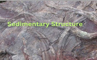
Sedimentary Structure: Classification and Development Explained
Sedimentary Structure: These are large-scale features or patterns of sediments that are produced as a result of the...
Biostratigraphy of Bangladesh
The Cenozoic succession of Bangladesh has been differentiated into a number of biostratigraphic units, viz.,...
Paleontology
No Results Found
The page you requested could not be found. Try refining your search, or use the navigation above to locate the post.
Solar System
No Results Found
The page you requested could not be found. Try refining your search, or use the navigation above to locate the post.