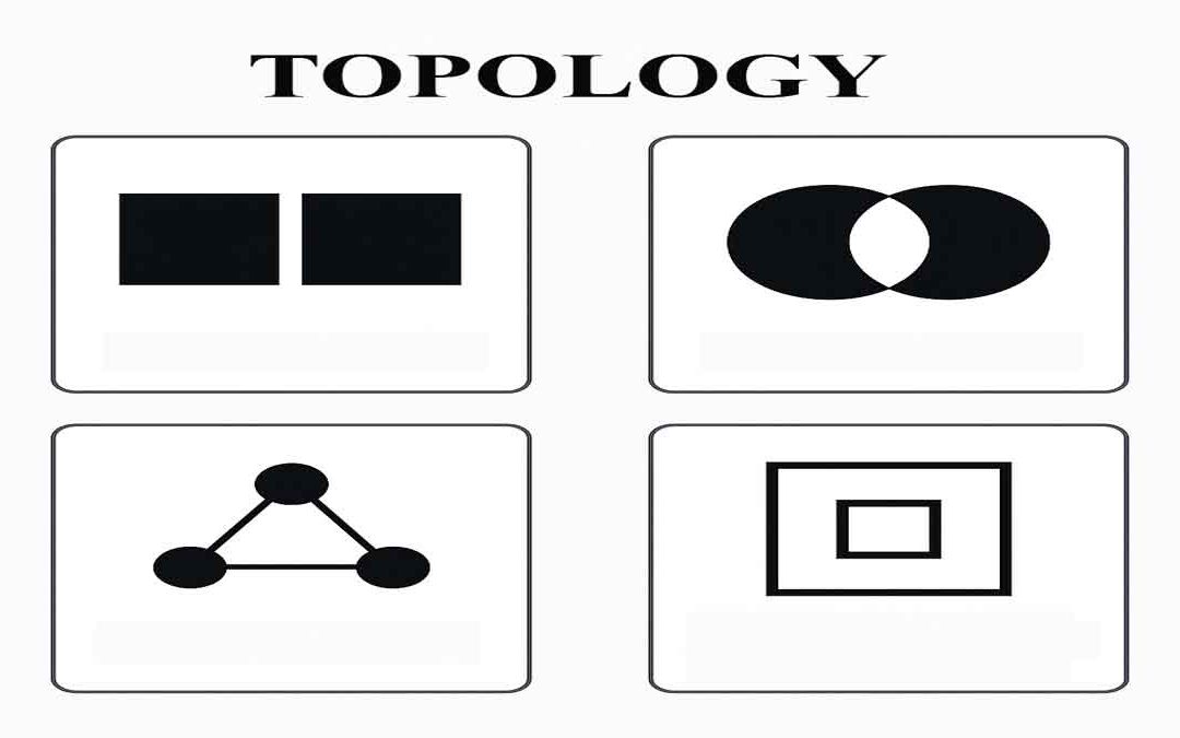
Topology defines the process to describe and maintain the spatial relationships of map features.
Function of topology:
It allows the function on the basis of the following aspects:
- Adjacency
- Coincidence
- Connectivity
- Containment and others
A GIS topology is a set of rules and behaviors that model how points, lines, and polygons share coincident geometry. Rarely are maps topologically clean when digitized or imported, and so it allows automated error detection and elimination.
It is fundamentally used to ensure data quality of the spatial relationships and to aid in data compilation. It is also used for analyzing spatial relationships in many situations, such as dissolving the boundaries between adjacent polygons with the same attribute values or traversing along a network of elements in a topology graph.
Some common uses of Topology:
- Must not overlap
- The boundary must be covered by
- Must not have dangles
- Points must be covered by the line
- Gaps in the Ares
- Label points in a Polygon
- Can snap Unconnected Ares
- Whether duplicates exist
Topology in the geodatabase helps to ensure spatial integrity of data by finding errors in data and fixing it with edit and topology tools. Correction through topology involves snapping feature vertices (user prioritizes through ranks) between one or two feature classes.
In addition, it supports better data management by making spatial editing more efficient and consistent. It simplifies processes like map overlay, spatial querying, and network analysis. Its rules can be customized to meet the specific needs of a project, ensuring flexibility and precision in geospatial workflows.
Importance of Topology:
Topological data structures dominate GIS software. Since maps are rarely topologically clean when digitized or improved, this allows automated error detection and elimination.
Moreover, by maintaining topological integrity, GIS professionals can ensure that spatial analyses, such as shortest path calculations, land-use classification, and zoning validation, are based on accurate and logically connected data.
This becomes critical in fields like urban planning, disaster management, transportation, and environmental monitoring, where decisions depend heavily on the reliability of spatial data.


