Latest Post & Case Study
Recent Post
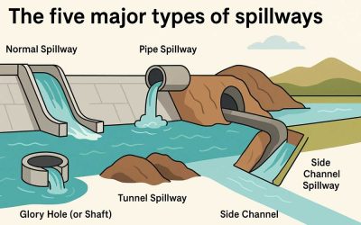
The Five Major Types of Spillways
Spillways discharge water from upstream to downstream and represent the most essential structures for dams to function...
Soil Compaction
Compression soil accomplished by loading for a short period is known as compaction. It is a quick process of...
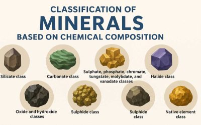
Classification of Minerals Based on Chemical Composition
The classification of minerals is primarily based on their chemical composition, which allows scientists and...
Crystallography and Minerals
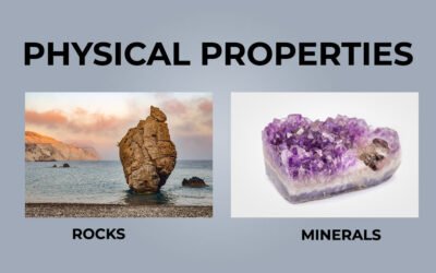
Physical Properties of Rocks and Minerals
The study of rock deformation needs knowledge of the physical properties of rock about deformation. These properties...
Types of Minerals
Before we learn about mineral types, we must know what minerals are. There are a few characteristics before we...
What is an ore?
Ore is a naturally occurring sediment or rock deposit that contains one or two or more number of economically valuable...
Economic & Historical Geology
No Results Found
The page you requested could not be found. Try refining your search, or use the navigation above to locate the post.
Petrology
Application of Sedimentology
Sedimentology, the study of sedimentary rocks and their formation, is essential in geology. Its applications span...
Regional Metamorphism and Its Role in Earth’s Evolution
Regional metamorphism actively transforms rocks over substantial regions under the influence of excessive temperature...
Sedimentary Rock Types: Formation, Structures, and Classification
Sediments are materials formed due to mechanical or chemical activity by the agents of denudation on preexisting...
Geomorphology
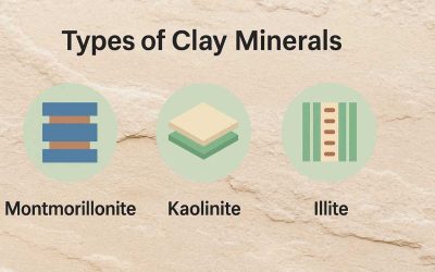
Types of Clay Minerals
Clay minerals consist of crystalline materials that give soil its plasticity and cohesion. A clayey soil, along with...
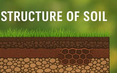
Structure of Soils
The structure of soils is the arrangement of the constituent particles in the soil matrix that contains voids,...
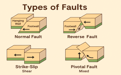
Different Types of Faults
Faults are fractures in the Earth’s crust where blocks of rock have moved past each other due to tectonic forces....

