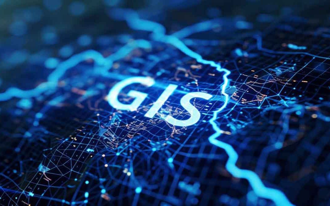
In a geographic information system (GIS), analysts transform geographic data into geographic information by applying a complex series of functions and processes.
Geographers begin with raw positional feature data that include attributes. They then overlay these data with complementary or contrasting data sets based on coincidence relationships.
Analysts examine and process the data and relationships, then present them as geographic information products. Developers often create these products as interactive software applications that help people make decisions.
Fundamental geographic information system (GIS) operations:
Georeferencing is the art of selecting common point locations in the real world using at least two data sources; an unreferenced source (such as a raster map) and a referenced source of the same area providing positional information. Basic georeferencing producers involve point selection and transformation.
For example, when someone scans a hardcopy map to create an electronic file, the map does not relate to any real-world coordinate system. The georeferencing process establishes (or, in some cases, reestablishes) the relationship between image pixel locations and real-world locations.
Queries are the user’s refining tool for taking the massive available data and selecting only those pieces that pertain to the application at hand. Once data are adequately georeferenced and resident in a GIS, the user can then create a query expression to find the relevant data for a specific application.
A query enables the user to search geographic data to collect location, feature, and attribute information from a relational database management system or geodatabase.
Geoprocessing is the fundamental process of creating a derived set of geographic data from various existing data sets using operations such as feature overlay and conversion. In a typical geoprocessing environment, the user applies GIS functions to a group of geographic (input) data to yield a precise output data set suitable for a particular application.
Spatial analysis offers the user a range of procedures, tools, and interfaces varying in application and complexity. Geographic data are intimately related to locations and feature attributes. Spatial analysis harnesses this duplicity through the study of geographic feature locations and shapes.