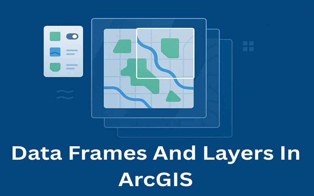
In ArcGIS, data frames and layers are essential for organizing and displaying map data. They help manage how geographic information is viewed, styled, and analyzed on a map.
Data Frames:
In ArcGIS Desktop, data frames are an element of the ArcMap user interface that displays a collection of layers drawn in a particular order for a specific map extent and map projection.
The table of contents on the left side of the ArcMap user interface shows the list of layers in the data frame. Map layers typically represent similar or related geographic information. They are contained in a data frame much like files in a folder.
- Each layer in a data frame is used to display information from a dataset (such as a feature class or an image file) and can be toggled on or off.
- In a data frame, operators work with features, rasters, and layers in specified units (using feet, meters, etc)
- When we create a map, it contains a default data frame listed in the table of contents as “Layers”, which can be renamed.
- The data frame controls many critical properties of a map. It includes projection and coordinate system information, map extent, reference scale, feature caching, size, position, and annotation groups. Additionally, the data frame controls frame attributes such as border, background, drop shadow options, and illumination features.
- Multiple data frames can be used in a single map. However, only one data frame can be active in ArcMap at a given time.
Data Layers:
Layers provide one of the primary ways that allow the operator to work with geographic data in ArcGIS. Layers are the mechanism used to display geographic datasets in ArcMap, ArcGlobe, and ArcScene.
Each layer references a dataset and specifies how that dataset is portrayed using symbols and text labels. When GIS operators add a layer to a map, they must specify its dataset and set its map symbols and labeling properties.
Each map, globe, or scene document in ArcGIS is assembled by adding a series of layers. Layers are displayed in a particular order in the map’s table of components. Layers listed at the bottom are displayed first, followed by the layers above them.


