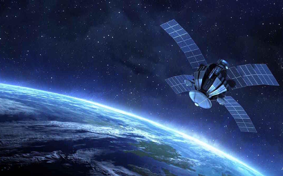
Wilkinson (1996) summarized three main ways in which remote sensing and GIS technologies can be combined to enhance each other,
- Remote sensing is used as a tool for gathering data for use in GIS,
- GIS data are used as ancillary information to improve the products derived from remote sensing, and
- Remote sensing and GIS are used together for modelling and analysis.
Remote Sensing for Extraction of Thematic Information:
Remotely sensed data can be used to extract thematic information to create GIS layers. There are three ways to incorporate so-derived thematic layers (Campbell, 2007).
- First, Manual interpretation of aerial photographs or satellite images produces a map or a set of maps that depict boundaries between a set of thematic categories (e.g., soil or land-use classes). These boundaries then are digitized to provide digital files suitable for entry into the GIS.
- Second, digital remote sensing data are analyzed or classified using automated methods to produce paper maps and images that are then digitized for entry into the GIS.
- Finally, digital remote sensing data are analyzed or classified using automated methods and then retained in digital format for entry into the GIS.
Extraction of Cartographic Information:
The automated extraction of cartographic information has been another major application of remote sensing imagery as data input to GIS. The extraction of lines, polygons, and other geographic features has been achieved from satellite images through the use of pattern recognition, edge extraction, and segmentation algorithms.
Use of Remote Sensing to Update GIS:
It is crucial to update GIS databases and maps in a timely manner. Remotely sensed data provide the most cost-effective source for such updates. Another area of the application of remotely sensed data as input to GIS is change detection.
Remote Sensing as a Backdrop for GIS:
Cartographic representation is the fourth area of application of remote sensing imagery as an input to GIS. Terrain visualization using satellite images in association with digital elevation models (DEMs) has long been explored as a promising tool in environmental studies.
DEM generation from satellite imagery using image correlation has also demonstrated its feasibility for deriving further topographic information for GIS applications.


