by Gelogia Team | Apr 21, 2025 | Physical Geology & Geomorphology
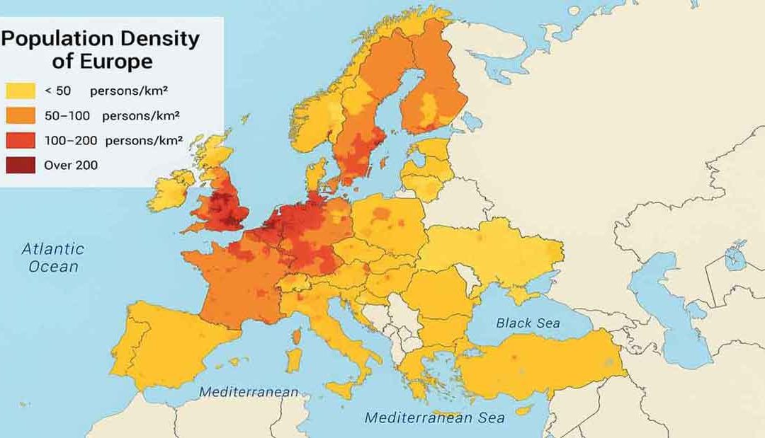
Thematic maps are especially designed to show a particular theme connected with a specific geographic area. They can portray physical, social, political, cultural, economic, sociological, agricultural, or any other aspect of a city, state, region, nation, or...
by Gelogia Team | Apr 20, 2025 | Physical Geology & Geomorphology
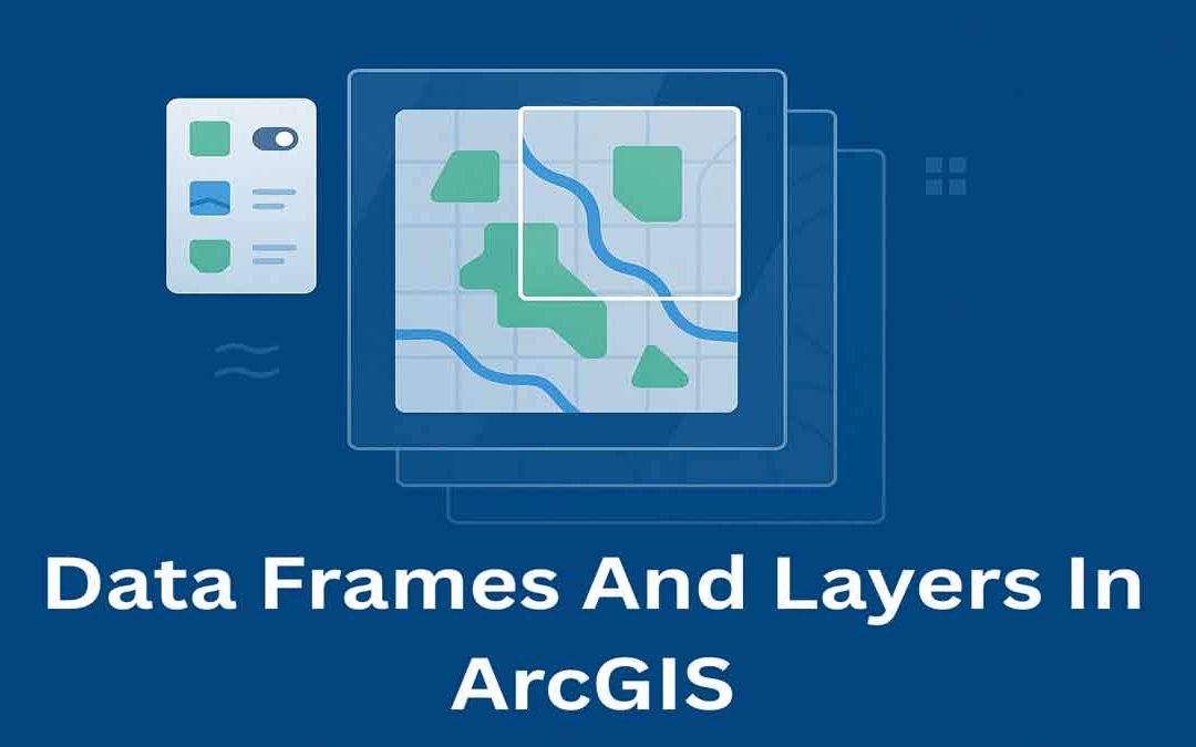
In ArcGIS, data frames and layers are essential for organizing and displaying map data. They help manage how geographic information is viewed, styled, and analyzed on a map. Data Frames: In ArcGIS Desktop, data frames are an element of the ArcMap user interface that...
by Gelogia Team | Apr 19, 2025 | Physical Geology & Geomorphology
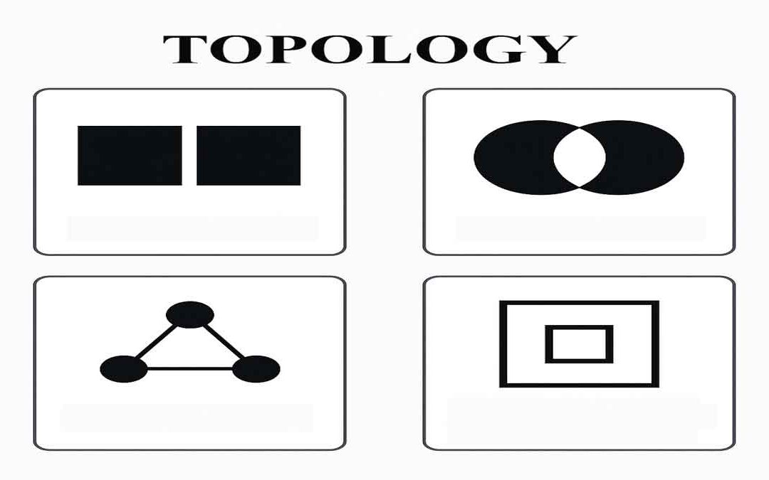
Topology defines the process to describe and maintain the spatial relationships of map features. Function of topology: It allows the function on the basis of the following aspects: Adjacency Coincidence Connectivity Containment and others A GIS topology is a set of...
by Gelogia Team | Apr 18, 2025 | Physical Geology & Geomorphology
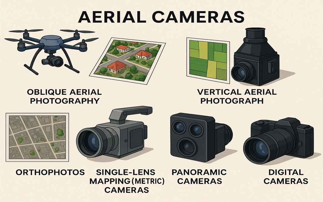
Aerial cameras and their use for aerial photography are the simplest and oldest of sensors used for remote sensing of the Earth’s surface. Cameras are framing systems that acquire a near-instantaneous “snapshot” of an area of the surface. The camera uses a lens to...
by Gelogia Team | Apr 17, 2025 | Physical Geology & Geomorphology
Data Classification is the process of sorting or arranging groups or categories on a map, and also the process of representing members of a group by the same symbol ( usually defined in a legend). It is used in GIS, cartography, and remote sensing to generalize...
by Gelogia Team | Apr 16, 2025 | Physical Geology & Geomorphology
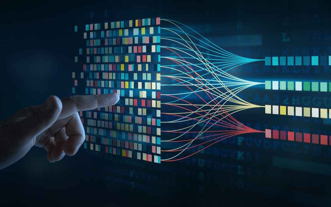
Geocoding is the conversion of spatial information into digital form. It involves capturing the map, sometimes also capturing the attributes, and often involves address matching. It is the process of transforming a description of a location, such as a pair of...