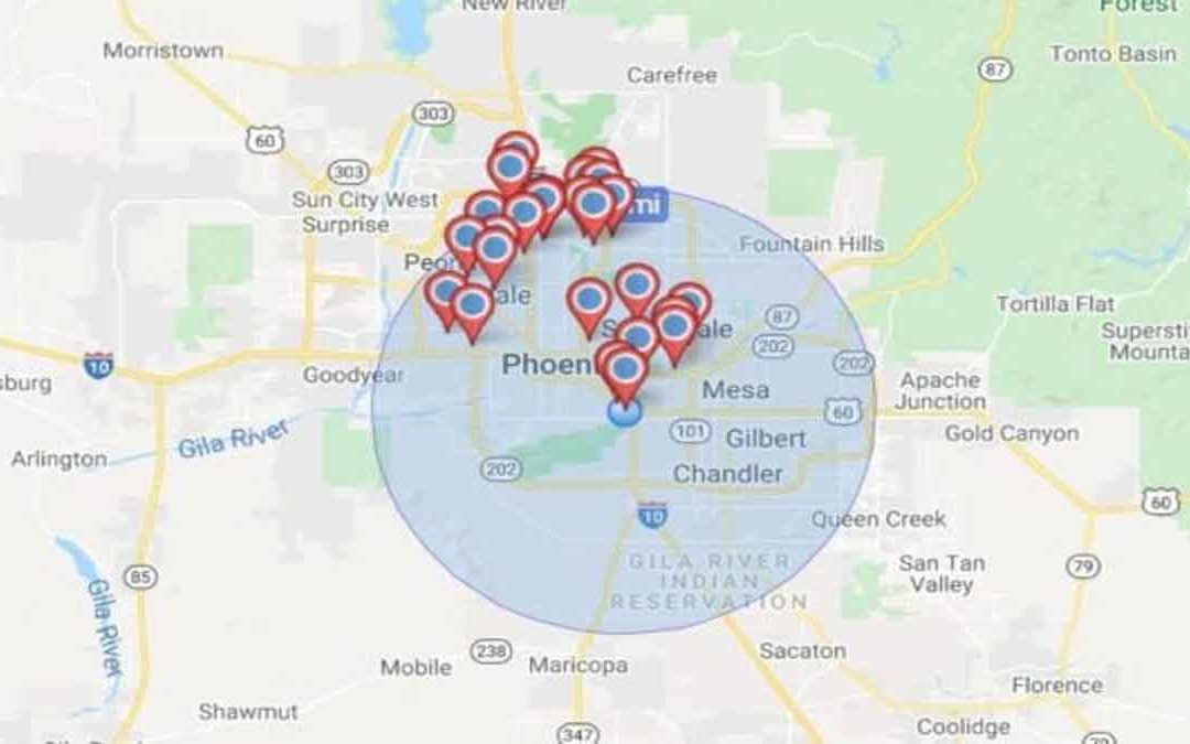
Geocoding is the conversion of spatial information into digital form. It involves capturing the map, sometimes also capturing the attributes, and often involves address matching. It is the process of transforming a description of a location, such as a pair of coordinates, an address, or the name of a palace, to a location on the Earth’s surface.
Geocoding involves multiple datasets and processes that work together. A geocoder consists of two important components: a reference dataset and a geocoding algorithm. Each component contains sub-operations and sub-components.
Geocoding methods for maps:
- Digitizing
- Scanning
- Field data collection
Digitizing:
Digitizing in GIS is the process of converting geographic data, either from a hard copy or a scanned image, into vector data by tracing the features. During the digitizing process, features from the traced map or image are captured as coordinates in either point, line, or polygon format.
Procedure for digitizing a paper map using a manual digitizer:
- Captures map data by tracing lines from a map by hand
- Uses a cursor and electronically sensitive tablet
- The result is a string of points with (x, y) values.
Some common digitizing errors:
- Duplicate lines,
- Duplicate nodes,
- Unended lines,
- Gaps, Stabling the base map,
- Fixing to tablet,
- Digitizing control,
- Determining coordinate transformation,
- Tracing Features,
- Proof Plot,
- Editing,
- Cleaning and Building,
- Cursor data entry,
- Secondary Tablet,
- Voice command entry,
- Point Selecting,
- Stream Mode,
- Distance Mode.
Scanning:
A scanner is a device that optically scans images, printed text, handwriting, or objects, and converts them to a digital image. Scanning converts paper maps into a digital format by capturing features as individual cells, or pixels, producing an automated image. Maps are generally considered the backbone of any GIS activity. The digitizing method involves scanning a map or image into a computer, and the digitizer then traces the points, lines, and polygons using digitizing software.
- Places a map on a glass plate and passes a light beam over it.
- Measures the reflected light intensity
- The result is a grid of pixels
- Image size and resolution are important
Field data collection:
Data are collected from the field through GPS or DGPS.


