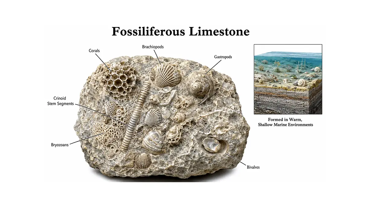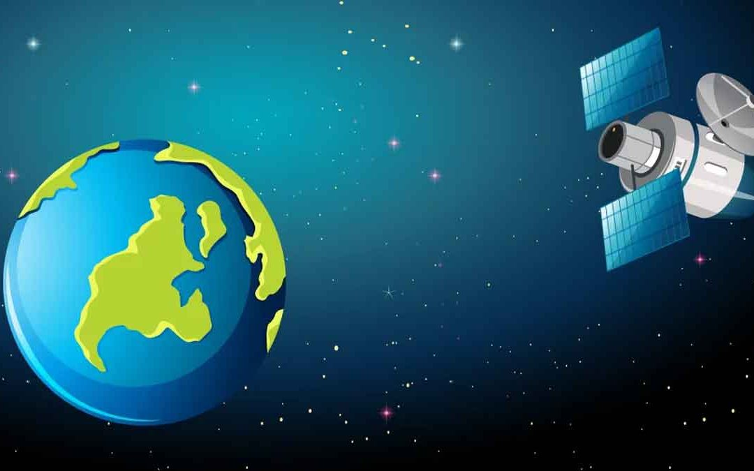
ASPRS adopted a definition of remote sensing as “ The art, science, and technology of obtaining reliable information about physical object of the environment, though the process of recording, measuring and interpreting imagery and digital representations of energy patterns derived from noncontact sensor systems.
Is Remote Sensing a Science?
Science is a systematic enterprise that builds and organizes knowledge in the form of testable explanations and predictions about the universe. Science is defined as the broad field of human knowledge concerned with facts held together by principles (rules). Scientists discover and test facts and principles by the scientific method (an orderly system of solving problems).
It is a scientific process because,
- Remote sensing is a tool or technique similar to mathematics that uses sensors to measure the amount of electromagnetic radiation (EMR) exiting an object or geographic area from a distance.
- The Remote Sensing process extracts valuable information from the data using mathematically based algorithms.
- It functions in harmony with other spatial data-collection techniques or tools of the mapping sciences, including cartography and geographic information system (GIS).
Is Remote Sensing an Art?
Art is a diverse range of human activities in creating visual, auditory, or performing artifacts (artworks), expressing the author's imaginative or technical skill, intended to be appreciated for their beauty or emotional power.
It can be interpreted as art because,
- In the study of remote sensing imagery, we look beneath us to study the spatial relationships between humans and their physical environment. In both cases, there is an obvious gap between what we can measure and analyze and what we feel to be true.
- The synergism of combining scientific knowledge with real-world analyst experience allows the interpreter to develop heuristic rules of thumb to extract information from the imagery.
Thus, remote sensing image interpretation is both an art and a science.